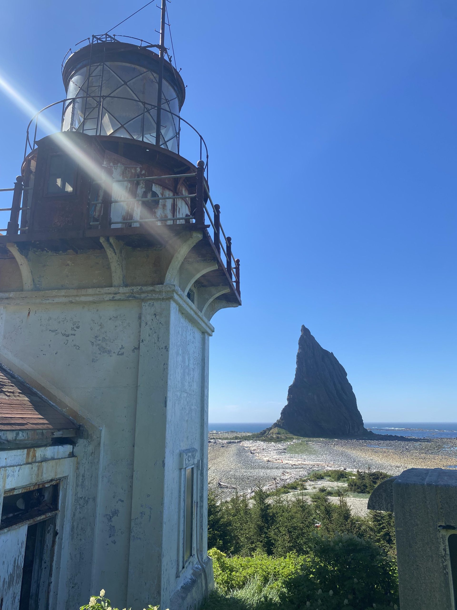
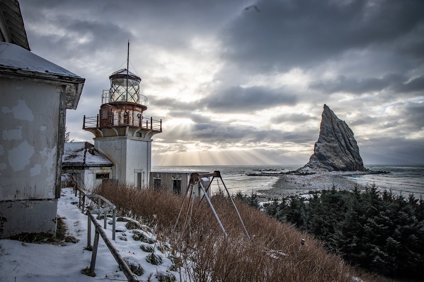
Cape St. Elias Lighthouse
This is one of the most important to navigation in southern Alaska, being a landfall for nearly all vessels between southeastern and western Alaska and for vessels bound to Prince William Sound.

Cape St. Elias Lighthouse History
In 1741, Captain Vitus Bering became the first European to discover Alaska, and on July 20 of that year, he named Cape St. Elias, a bold promontory that peaks at a height of 1,665 feet, for the saint whose day it was according to the Russian Orthodox Church calendar.
The cape is actually the southwestern end of Kayak Island, which extends twenty miles out into the Pacific Ocean and retains the name given it in 1826 by Lieutenant Sarichef of the Russian Navy for the island’s resemblance to an Eskimo skin canoe. The defining feature of the island is Pinnacle Rock that stands a half-mile off the western end of the cape like a giant exclamation point. Due to hidden rocks and reefs, the waters around the cape were regarded as one of the most dangerous points along the entire Alaskan coast.

At Cape St. Elias
About Us
Lighthouses are a beacon. Properly used, they’re a beacon of hope to ward off impending danger, yet protecting from and warning of danger is exactly what they’re for.
The earliest lighthouses go back to biblical times, all with a mission to protect mariners. Navigating boats & ships safely means that aids to navigation had to be used to warn of the rocks & shoals, the sudden changes of seascape, and other hazards that prevented safe passage.
The lighthouses of Alaska, which you’ll find in this site, are testament to the challenges of marine navigation, life along the coast of Alaska, and the inherent dangers that can swell up and crush a concrete structure in moments, witness Scotch Gap. Yet for the many lives that have been lost, the lives saved because of these amazing aids to navigation can barely be quantified. We hope you enjoy our site.
Alaska History is Waiting


